Notes and links
The Downs Link links the North Downs Way at St Martha's Hill, across the Weald via Horsham to the South Downs Way at Steyning, and on to the coast at Shoreham-by-Sea. Much of this multi-user route is along disused railway lines.
Published guide
A useful guide with the title 'Downs Link - A Six Stage Route Guide' was updated and republished in 2010. It is available as a PDF download from the West Sussex County Council website. This site has at least two separate pages on the Downs Link, one under 'Wildlife and landscape' and one under 'Walking, cycling and horseriding '. The Council's website seems to be volatile, so I'm not sure how long the links will remain valid - if they don’t work, search the site for ‘Downs Link’.
The route is shown on OS 1:25 000 maps.
Waymarking
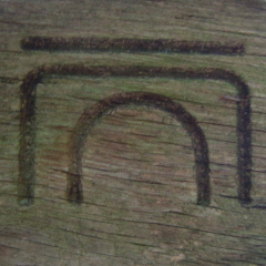
The route is waymarked.
